The Philippine Space Agency (PhilSA) is currently analyzing available satellite data on the 7.8-magnitude earthquake that struck the southern portion of Mindanao on 08 June 2026.
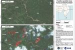
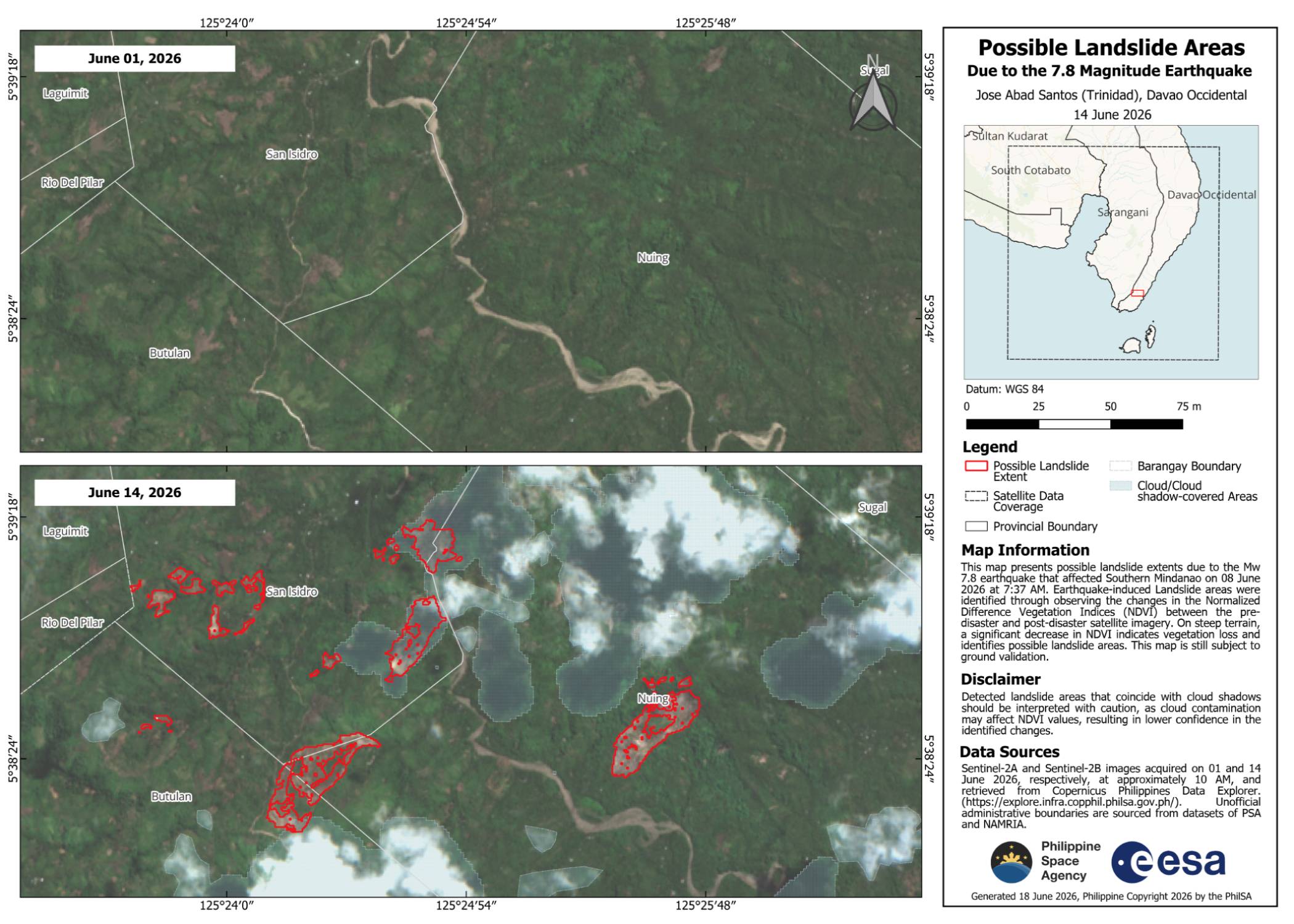
PhilSA produced maps showing earthquake-induced landslides affecting barangays Calabanit, Ilaya, San Vicente, Congan, and Calpidong in Glan, Sarangani; and barangays Butuan, Patulang, Sugal, Nuing, San Isidro, and Batulan in Jose Abad Santos, Davao Occidental. The total combined area possibly affected by landslides is about 137.87 hectares (~1.38 sqkm), or more than half the land area of Bonifacio Global City.
Landslide areas were identified through observing vegetation loss between pre-disaster (01 June 2026) and post-disaster (14 June 2026) images from Sentinel-2A and Sentinel-2B satellites of the European Space Agency. Areas that appear green and covered in vegetation in the top (pre-disaster) image that now appear brown in the bottom (post-disaster) image indicate bare soil, and are possible landslide areas. Vegetation loss was quantified by a significant decrease in Normalized Difference Vegetation Indices (NDVI) between the satellite images. The maps are subject to ground validation.
PhilSA’s support through the analysis of satellite data provides wide-area coverage that assists the National Disaster Risk Reduction and Management Council (NDRRMC) in monitoring the situation and prioritizing areas for response. By making space data accessible to stakeholders, PhilSA enables informed decision-making and strengthens disaster response.
PhilSA will continue monitoring satellite data as the situation requires. Please follow local and national agencies for the latest advisories.
Access the high-resolution maps here: https://bit.ly/Landslides_20260614_S2
Follow us on social media for the latest updates: https://linktr.ee/philspaceagency